Storm Center > Severe weather is rapidly closing in on the Entergy service territory
Severe weather is rapidly closing in on the Entergy service territory
01/09/2020

Severe weather is rapidly closing in on the Entergy service territory. We are prepared and encourage you to finalize your preparations as well.
Our operating companies continue evaluating the weather threat and are planning their restoration workforces accordingly. Additionally, we can request external contract and mutual assistance resources as needed.
The latest prediction of the coming severe weather includes:
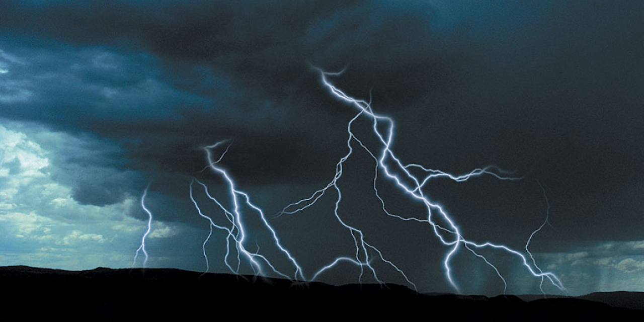
- Widely scattered thunderstorms capable of producing heavy rainfall, tornadoes, large hail, strong winds and frequent lightning could develop by the mid to late afternoon on Friday across east Texas and western Louisiana and may spread into Arkansas.
- A line of thunderstorms will develop along and ahead of a cold front by Friday, again with the potential for tornadoes, large hail, frequent lightning and damaging straight-line winds.
- Thunderstorms should clear the Entergy service territory by Saturday. Light rain and sleet could develop in northern and northwestern Arkansas behind the front, with up to two inches of snow possible, primarily in the Ozarks.
The impact of ice storms is very difficult to predict, but forecasts indicate the approaching weather system could be very challenging.
When restoration starts, keep in mind that if you don’t see us working near you, we may be working on another part of the electrical system that you can’t see but must be repaired to get power to you.
